Webinar - Integrating InSAR into Engineering Geological Practice: Urban Excavation and Slope Failure
2026-07-20
Channel: CATALYST. Earth (6780 subscribers)
Most of this week's candidates are student assignments, hashtag-stuffed compilations, or short "why did this bolt fail" clips with thin explanations. This webinar is the clear standout: a working session on how Interferometric Synthetic Aperture Radar (InSAR) is actually used in engineering geology practice — not a marketing overview.
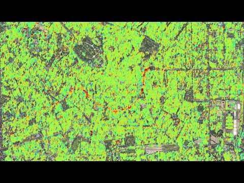
InSAR uses phase differences between repeat satellite radar passes to measure ground deformation at millimeter precision over wide areas. The webinar focuses on two application domains where that capability changes what engineers can know: urban excavation monitoring (detecting settlement around deep foundations and tunneling before it manifests as cracked facades) and slope instability in geologically complex terrain (identifying creeping landslide bodies that traditional inclinometers would miss because you didn't know where to install them).
What makes this worth an hour: it's aimed at practitioners who need to integrate the data into real geotechnical workflows, so expect discussion of coherence limitations, atmospheric noise correction, persistent scatterer selection, and how to reconcile InSAR-derived velocities with ground-based instrumentation. That kind of "how do we actually trust this data" content is rare on YouTube.
The channel sits just under 7k subscribers despite serving a specialist audience — a good example of high-value technical content that hasn't found its viewership yet.
